--------------
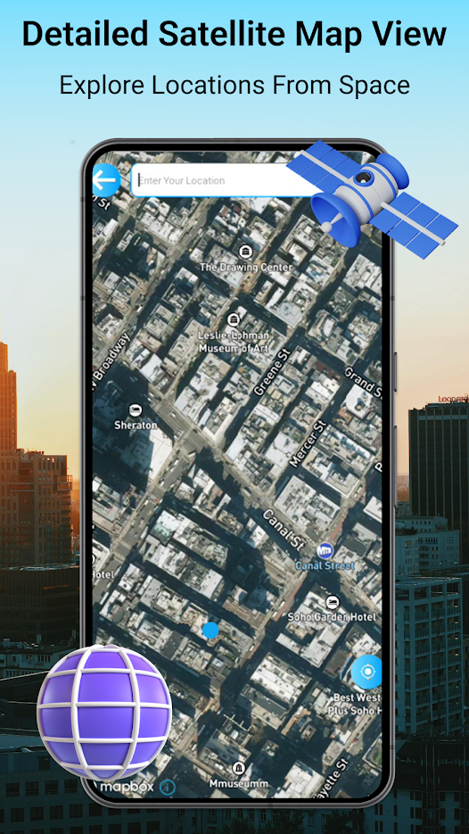
GPS Earth Live Satellite Maps is useful tool for exploring globe on phone. Multiple high definition satellite & earth maps are able to show you detailed 3D maps of any location. Real 3D earth map feature of GPS Earth Live Satellite Maps will show you real 3D live of any location on map. Just search location you want to view and this GPS Earth Live Satellite Maps app will show you details about your desired location. Real satellite 3D maps with latest satellite images will show real time satellite view maps. Live satellite maps are based on high definition satellite imagery map. That is why GPS Earth Live Satellite View Maps is able to show real time live satellite maps in HD.
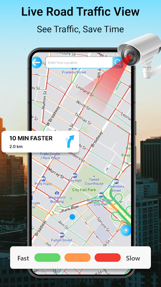
GPS Earth Live Satellite Maps is a complete travel kit. Move on live maps with shortest routes. Find route to your destination with a few clicks and have ultimate navigation experience. High definition latest maps will help you to reach at destination in minimum time.
3D buildings on real 3D maps will help to understand any area. Live traffic maps are best to understand traffic conditions on any road. GPS Earth Live Satellite Maps gives easy maps with advanced travel tools. Advanced travel tools like Speedometer, compass, speed alerts, address finder and much more added in this travel tool kit for you to have have less hectic journey. GPS Earth Live Satellite Maps will take care about your route, navigation, location and finding any address for you and will make ...

 +100宝石


 分享
分享