Tactical Maps & Navigation provides a powerful and intuitive mapping experience for professionals, outdoor adventurers, and map enthusiasts. It supports multiple map styles, easily overlays the MGRS grid, and enables precise exploration, all within a native and smooth app interface.
Whether you're traversing the wilderness, planning a mission, or analyzing spatial data, Tactical Maps & Navigation offers professional tools at your fingertips.
Core Features (Free):
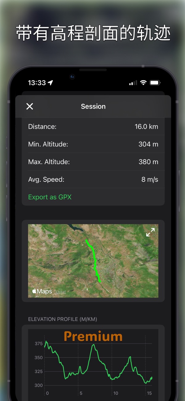
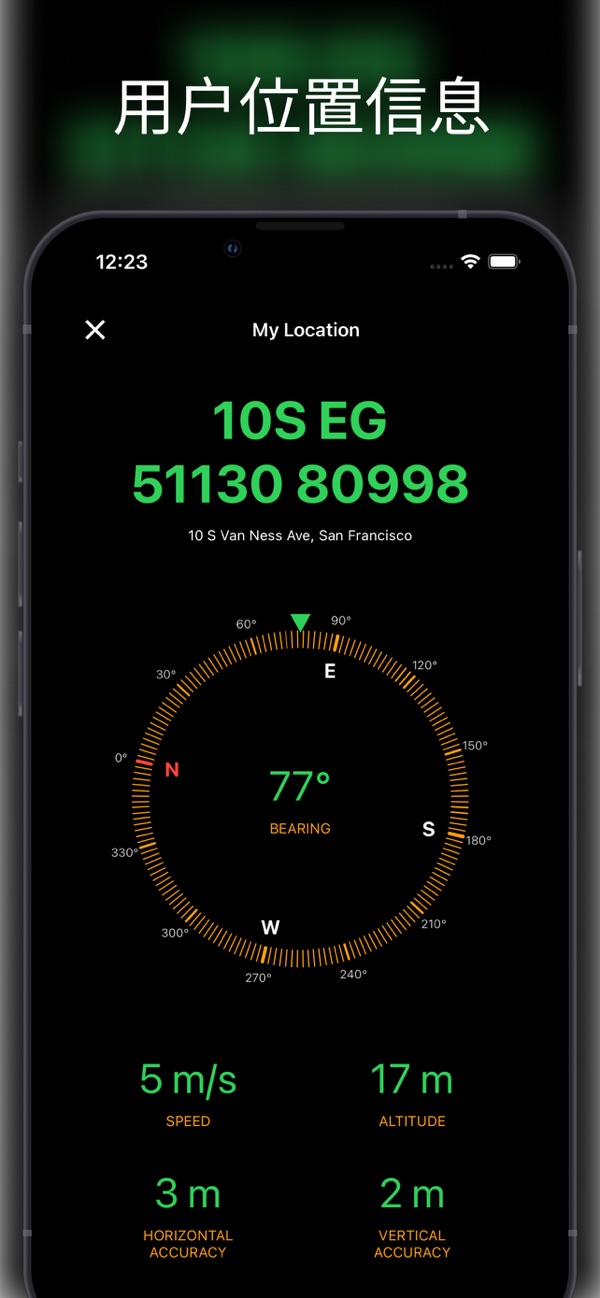
- Real-time Location Data: Clearly display your coordinates, address, direction, speed, altitude, etc. in real time
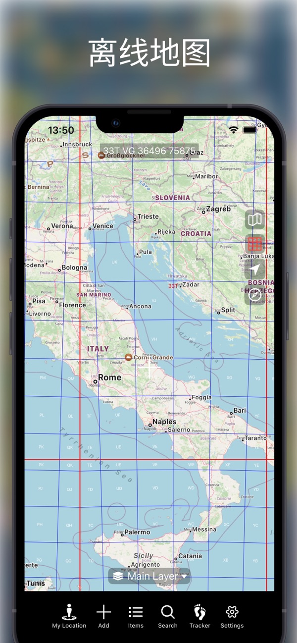
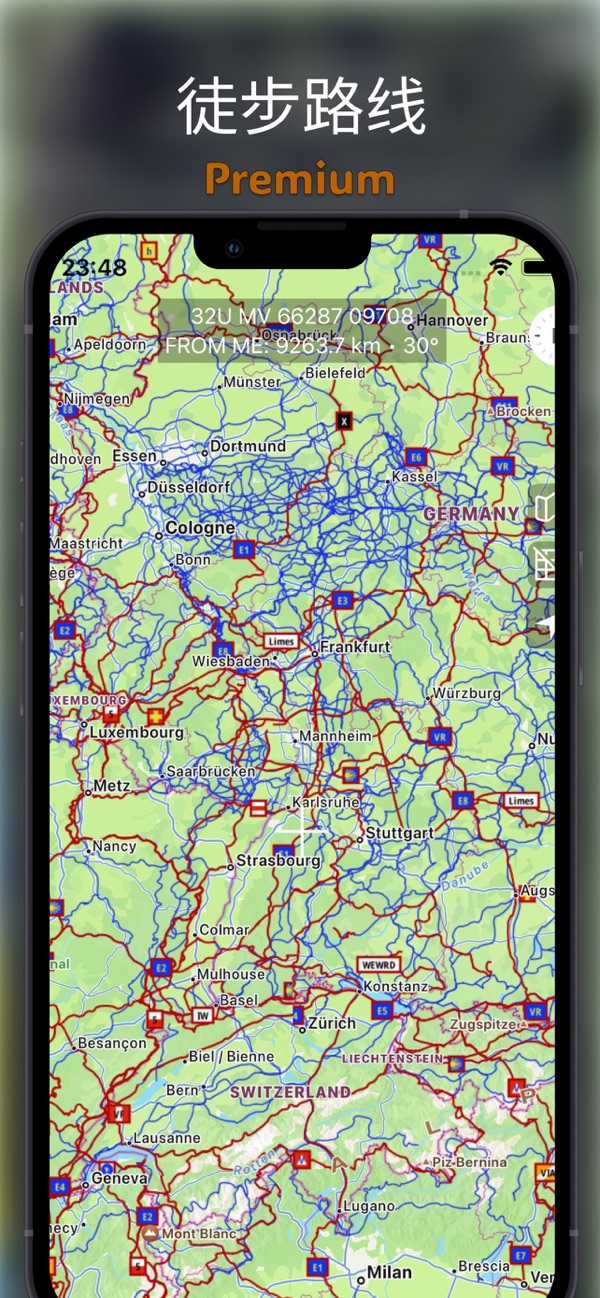
- Multiple Map Types: Select the map that best suits your task
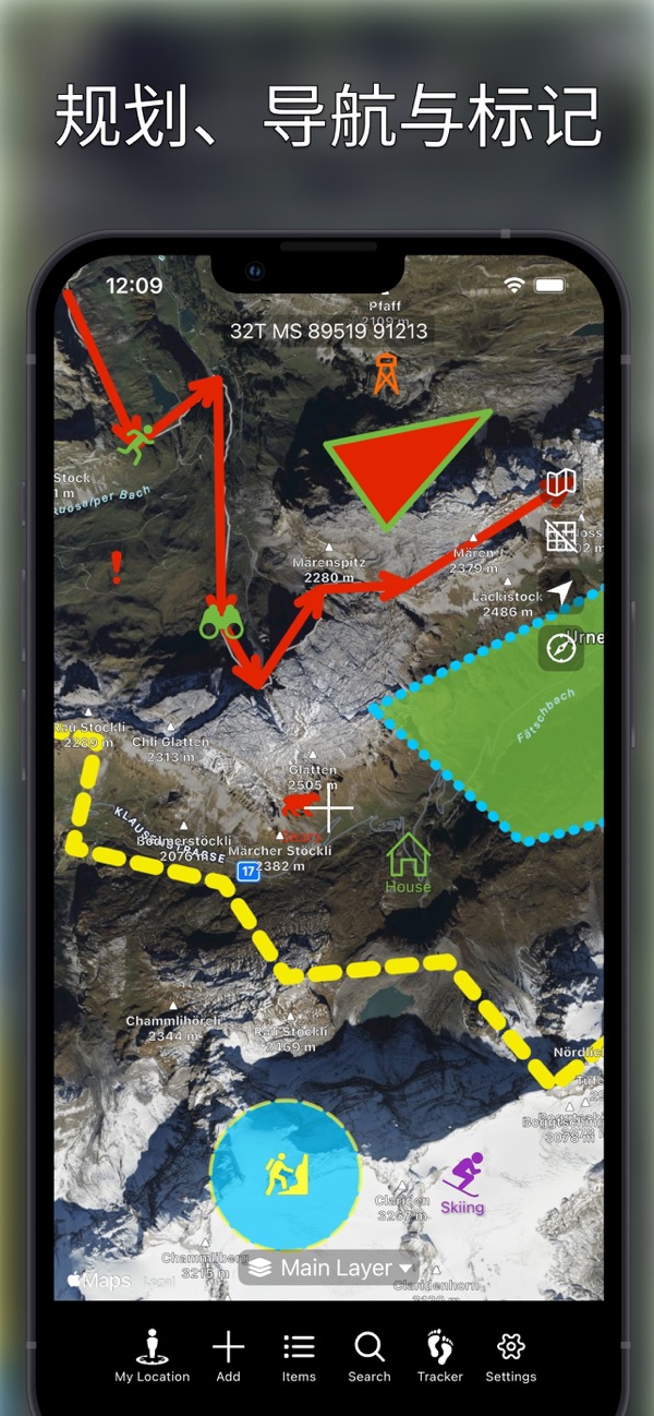
- MGRS Grid Overlay: Easily turn on and off the Military Grid Reference System (MGRS)
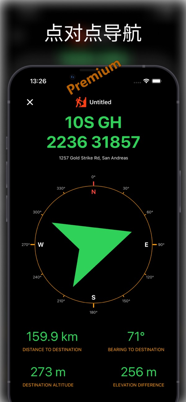
- Custom Pins and Navigation: Place various types of pins and directly navigate to the destination
- Altitude Settings: Automatically or manually set the altitude of pins
- Drawing and Design: Add lines, polygons, and circular areas
- Layer Item List: View all layers in a clear and structured list
- Search Function: Support searching by MGRS, UTM, latitude and longitude
- Coordinate Projection: Move the cursor from the current location or the map center according to direction and distance
- Flexible Data Formats: Customize the units of coordinates, distance, angle, altitude, and speed
- File Import Support: Easily import map data in KML, GeoJSON, and GPX formats
Premium Feat...


 +100宝石


 分享
分享









用户评价
立即分享产品体验
你的真实体验,为其他用户提供宝贵参考
💎 分享获得宝石
【分享体验 · 获得宝石 · 增加抽奖机会】
将你的产品体验分享给更多人,获得更多宝石奖励!
💎 宝石奖励
每当有用户点击你分享的体验链接并点赞"对我有用",你将获得:
🔗 如何分享
复制下方专属链接,分享到社交媒体、群聊或好友:
💡 小贴士
分享时可以添加你的个人推荐语,让更多人了解这款产品的优点!
示例分享文案:
"推荐一款我最近体验过的应用,界面设计很精美,功能也很实用。有兴趣的朋友可以看看我的详细体验评价~"
关注 Mergeek 公众号
领奖遇到问题?联系小门助手